Bay of Kotor
Twenty-eight kilometres of sheltered water
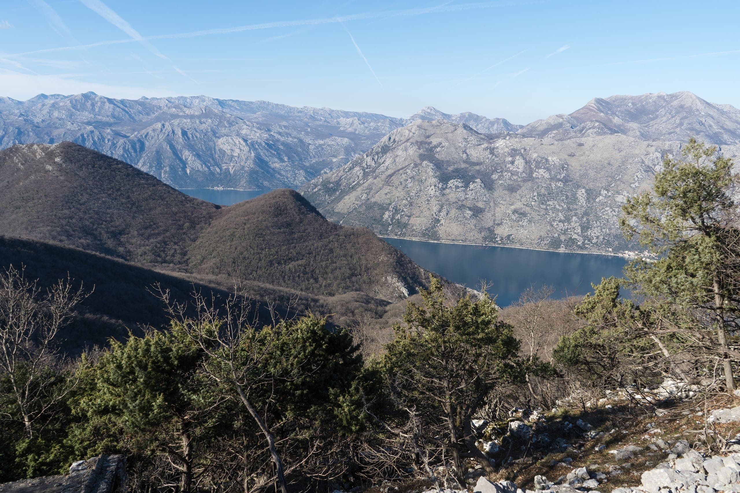
The bay cuts twenty-eight kilometres into the mainland between two mountain massifs, and that single fact decides most of what a day here feels like.
- Length
- 28 km inland
- Coastline
- 107 km
- Maximum depth
- 60 m
- UNESCO
- since 1979
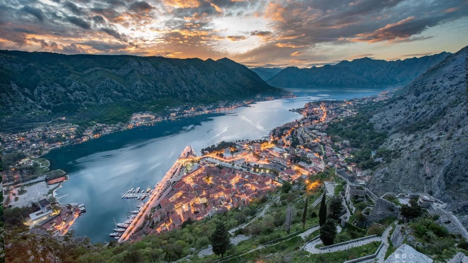

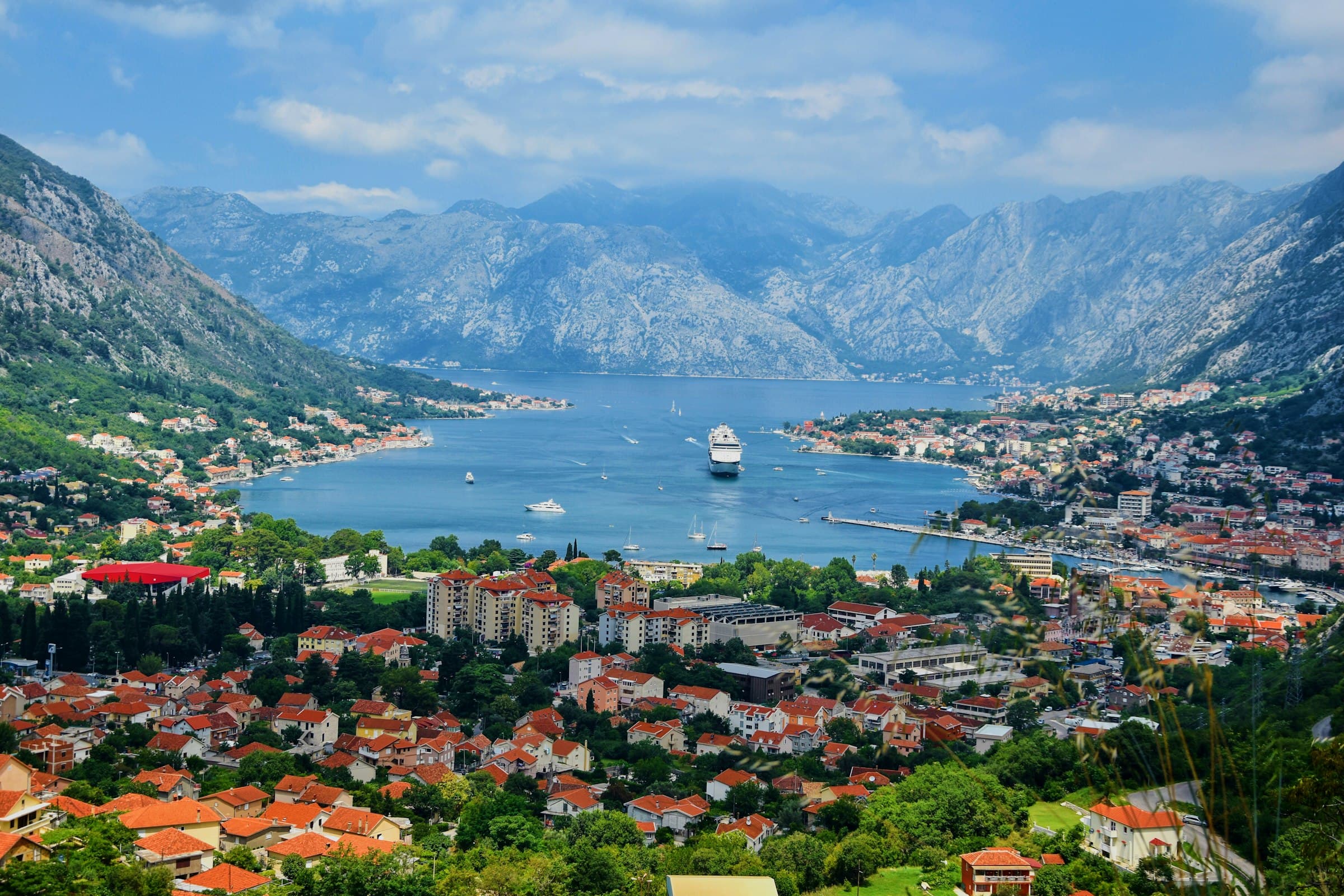
Boka is often called Europe's southernmost fjord. Geologically it is a ria - a river canyon that the sea flooded - but the effect is the same: steep limestone walls of Orjen and Lovćen falling straight into deep water, and a coastline of 107 kilometres folded into a bay you can cross in an afternoon.
Because it is enclosed, the water stays calm when the open Adriatic does not. At its narrowest, the Verige Strait is 340 metres across - the point where Venetian defenders once stretched chains across the water to stop enemy ships. Inside that gate the sea is flat almost all summer.
The inner bay, from Verige to Kotor and Risan, has been on the UNESCO World Heritage list since 1979 - listed for the cultural landscape as a whole, not for a single monument.
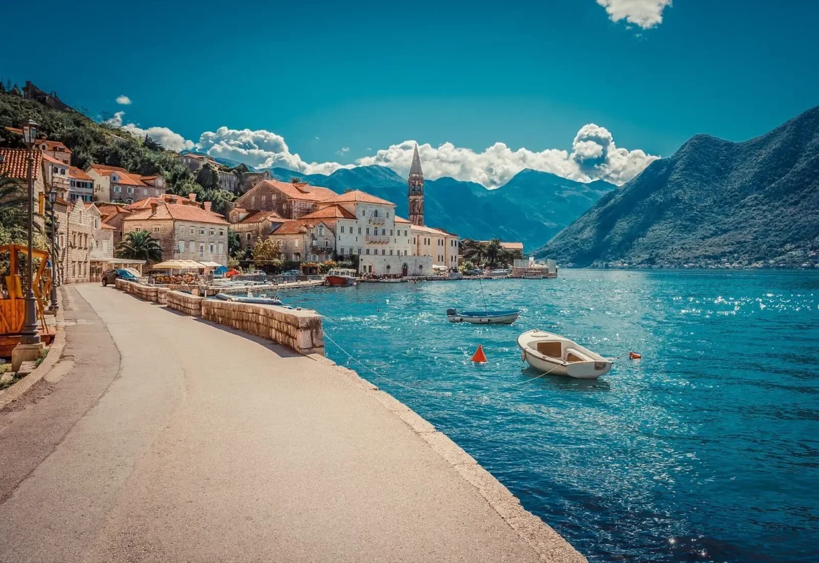
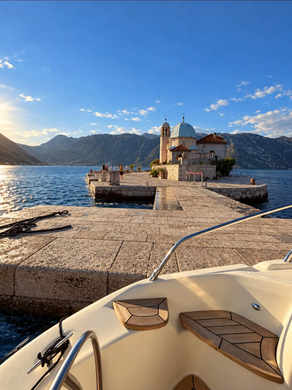
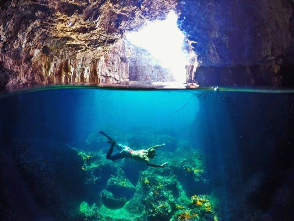
For a day on the water this means something practical: the route can change with the wind without the day changing. There is always somewhere sheltered to swim, and the distances between Herceg Novi, Perast, Kotor and the islands are short enough that you are never rushing.
Photo: Alexkom000 · CC BY 4.0 · Wikimedia Commons
Twenty-eight kilometres of sheltered water
Inquire